Where Does the Phoenix Water Supply Stand Relative to Phoenix Water Drought?
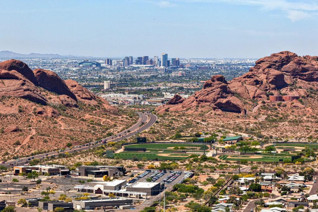
The Phoenix water drought is impacted by three main sources: First, the SRP (Salt River Project) reservoirs were the first to be used on a large scale. There are three main SRP reservoirs east of Phoenix: Lake Roosevelt (the largest), Saguaro Lake, and Apache Lake. Each is dammed and together this system supplies roughly 35-40% of the water for Phoenix.
These three reservoirs funnel into and supply mainly southern Phoenix.

Next, the CAP (Central Arizona Project) which was completed in 1993 at a cost of $four billion takes water up from the Colorado River in western Arizona through a series of canals and pumps it 340 miles into northern Phoenix and then on into Tucson, where it ends. The canals are open and therefore subject to evaporation in the desert heat but supply roughly 40% of the city’s water.
Finally, Phoenix has been recharging CAP water into underground basins since 1996. This recharge along with some limited city wells accounts for maybe 15-20% of the water supply of the city.
Current reservoir levels

The three SRP reservoirs are each currently between 75-90% full. However, with the advent of the Drought Pipeline Project (to be completed in late 2022) they will be subject to additional drawdown. They are supplied by runoff from the White Mountains to the east. Therefore, they are also subject to the effects of climate change.
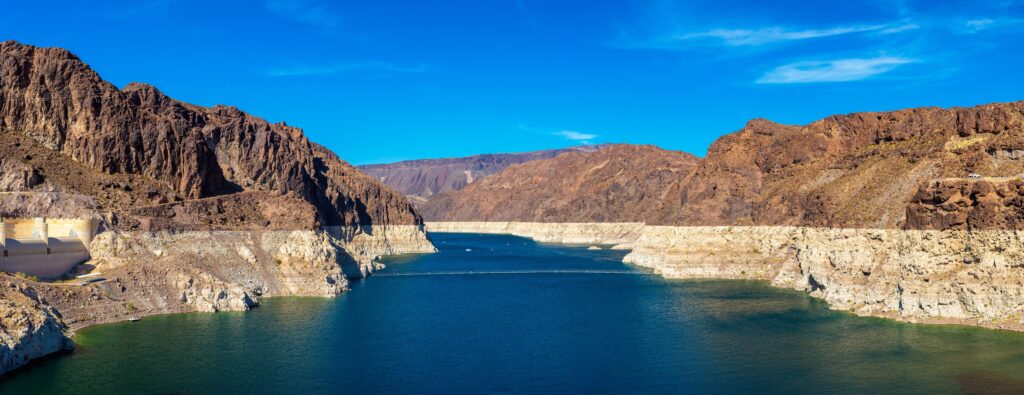
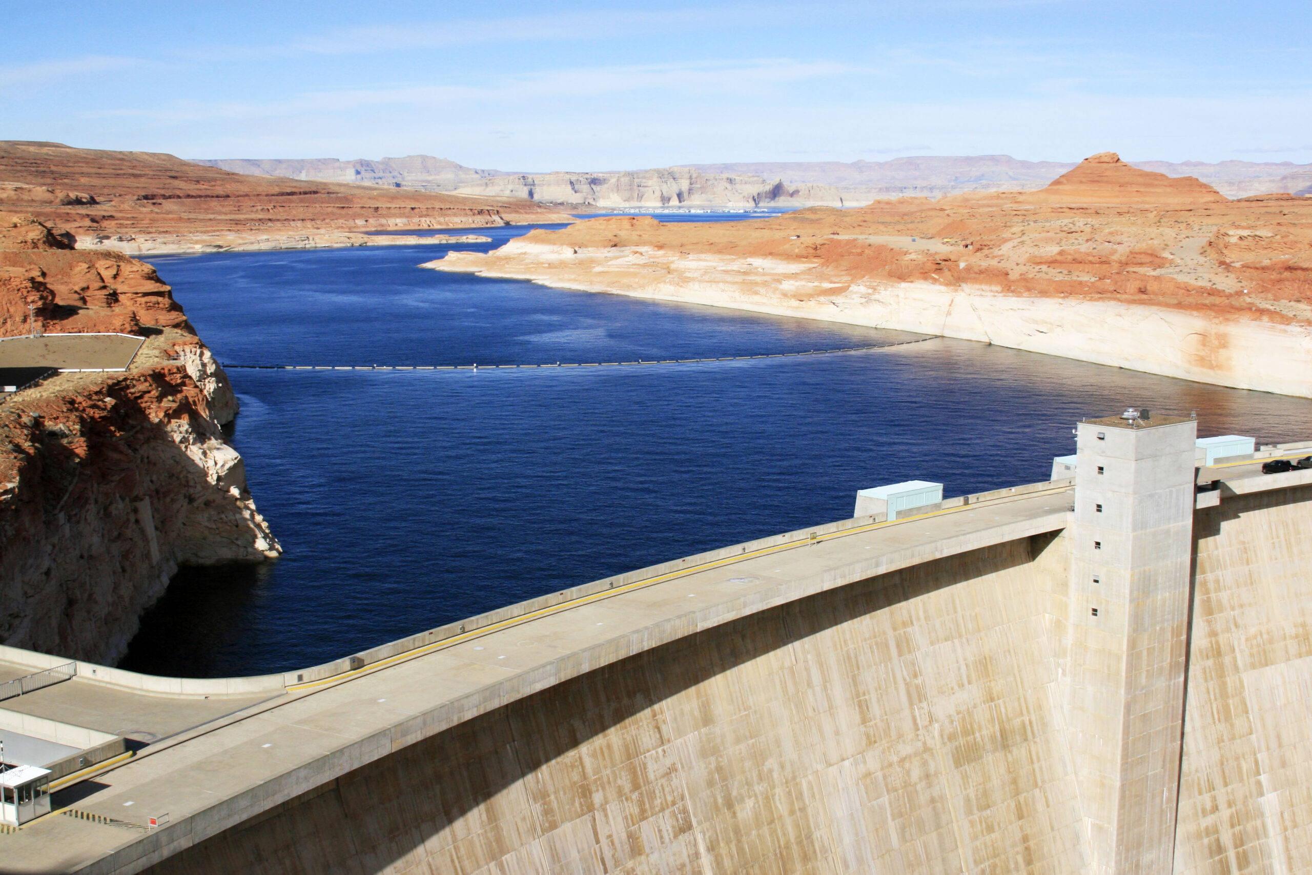
Current levels in Lake Powell and Lake Mead, which both drain into the Colorado River are currently 24% and 34% full. Both reservoirs have “bathtub rings” around the sides as they are rapidly being drawn down by both the population increase of Phoenix and by the effects of climate change. Lake Powell is so low that it may lose the ability to produce electric power by the end of 2022. (ref….)
The recharge reserve is hundreds of thousands or millions of acre-feet, but that is only an estimate. Ground wells supply a much lower amount of Phoenix’s water.
Recent Developments
In 2019 the Upper Basin states (Wyoming, Colorado, Utah) and the Lower Basin states (California, Arizona, New Mexico, and Nevada) agreed to take less water from the Colorado River in response to changes in the water levels in Lake Mead and Powell. This plan, known as the Drought Contingency Plan, resulted in 18% less water supplied to the CAP. (Tier 1 cut) The Federal Government (Bureau of Reclamation) along with the Upper and Lower Basin states have planned out the level of cuts to the Colorado River’s supply. These cuts are related to the level of the water in Lake Mead. They are listed as Tier 1,2 and 3. Tier1 has already been enacted.
Recently (May 1, 2022) in response to the rapidly lowering levels in both Mead and Powell, the Federal Government has mandated an emergency 500,000-acre-foot withhold In Lake Powell and the Lower Basin States have mandated a roughly 500,000-acre-foot reduction in drawdown from Lake Mead.
What Does the Future Hold?
Some experts have said that even this 1,000,000 total acre-foot reduction won’t be enough to keep the Lower Tiers states from falling into a Tier 2 reduction, which will mandate another 8% reduction in drawdown. If you want to know how climate change is affecting the Phoenix water drought, click here.
Stay tuned!

